Example: Tracing if aircraft should be on ground
If you see another aircraft floating or below ground, this can have multiple reasons. It might make sense to trace the interpolation to see if swift "thinks" the plane should be on ground.
Upfront:
- aircraft too high or too low is caused by scenery offsets and/or missing/wrong vertical offsets (aka CG).
- typical causes may include
- missing CG/offset
- wrong X-Plane elevation
- missing FSX terrain probe, see FSX probe
- wrong gnd. flag from other party
So checking floating/hovering means to check
- the gnd. flag
- the offset/CG
- the elevation
You can debug the issue in two ways:
- "Live" as described below, using the interpolation log. display
- or recorded as described in Tracing interpolation
Understanding the ground flag
- if other aircraft send aircraft parts with a ground flag or a gnd. flag we know the aircraft should be on ground
- in all other cases (no gnd. flag) we are guessing if the aircraft is supposed to be on ground.
Starting the log. display
Use .drv intdisplay to launch the window.
See Interpolation log. display window for details.
1) Checking gnd. situation (log. display)
-
select the aircraft you want to check
-
you can check the input situations from the network

-
unter interpolation you can see the interpolated situation for your simulator

-
to refresh press
-
note that the marked text says it is on ground
-
you could also check the loopback situation, which is the last situation we received from the simulator for that aircraft

2) Checking the CG (aka vertical offset)
You can check the CG in two ways:
- in the interpolation log. display
- or in the "rendered" aircraft model view.
interpolation log. display
In the interpolation tab you can see CG as it is "really" used for the interpolated situation
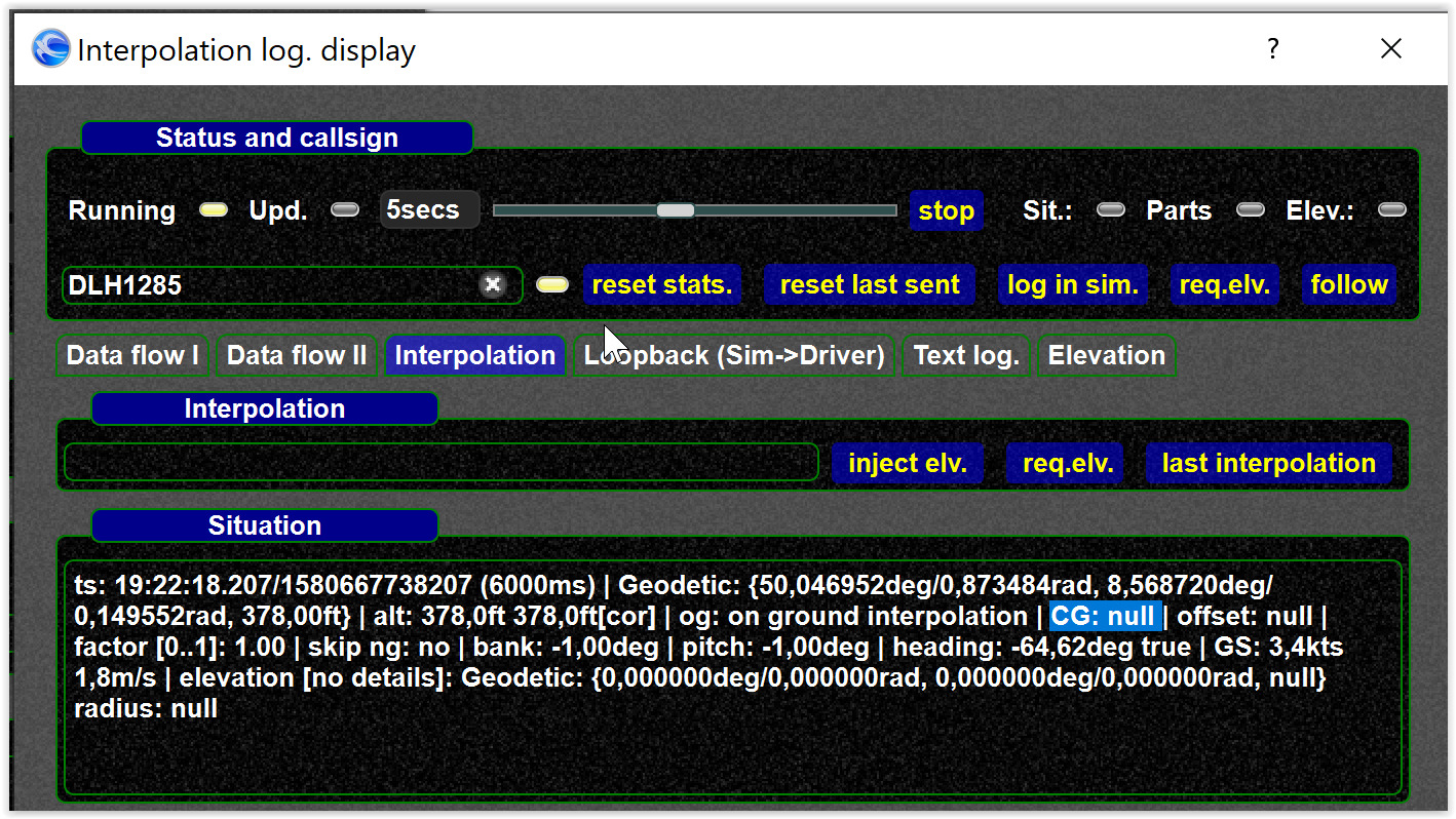
You can also check if the simulator CG is available, which is available in the "Data flow" tab.
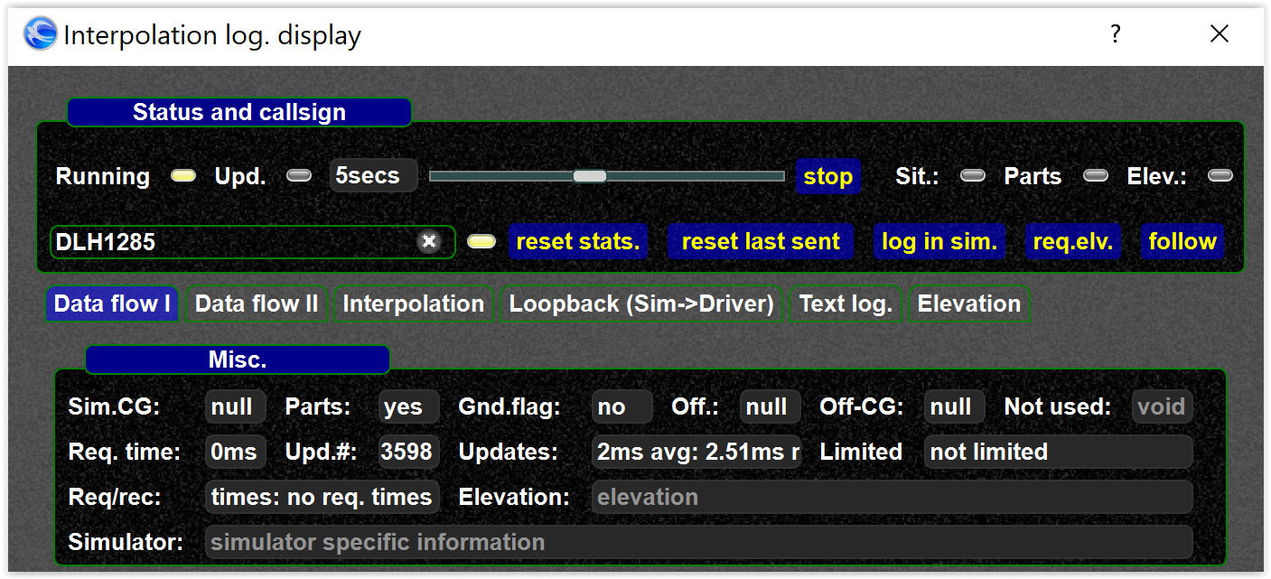
Here you can see the CG (as stored in the DB) and if an aircraft has parts (which means a ground flag is sent on VATSIM).
Rendered aircraft view
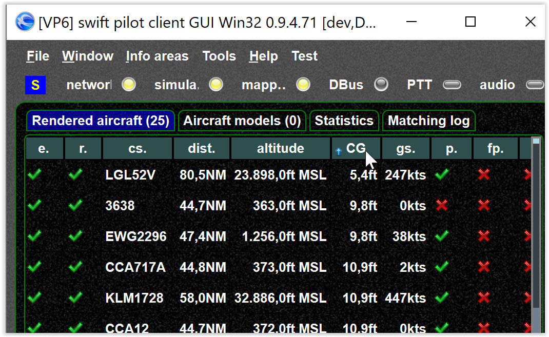
null values mean the vertical offset/CG is not available.
- do not confuse
nulland zero "0".nullmeans value is not available, while "0" means the values is available. -
some aircraft have 0 (zero) based offsets (so 0 can be a correct value)

3) checking the elevation
Warning
For performance reasons we do not query elevations all the time
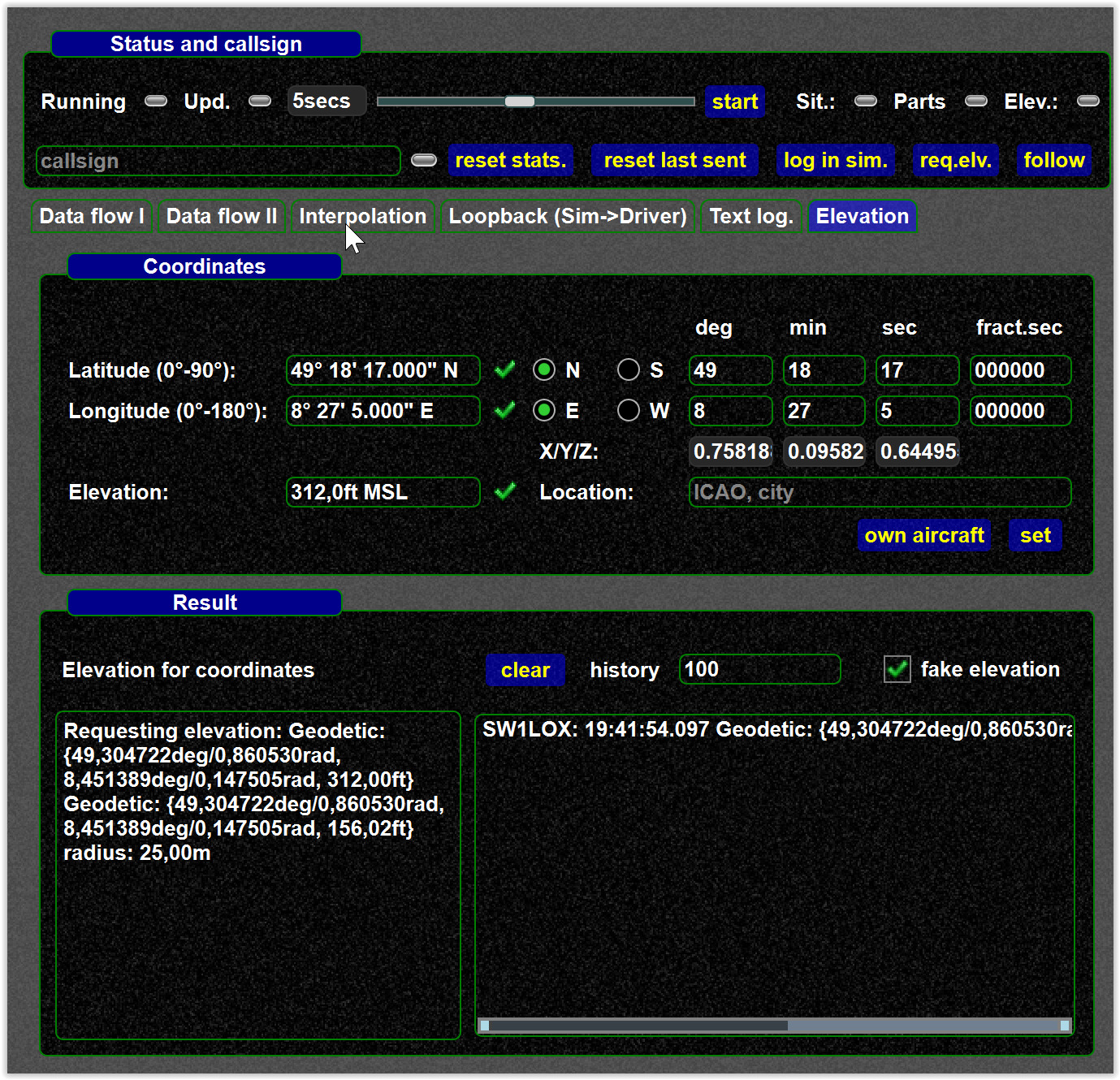
- you can set coordinates (e.g. for your own aircraft) and test if the requested elevation is available (means the probe works)
-
you can also check the elevation history and see if there are incoming elevation values. Again: please understand we only query elevations for aircraft supposed to be "near ground".
